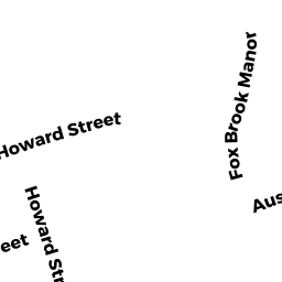
19 AUSTIN ST
Owner Information
D'ADDATO DANIEL R
19 AUSTIN ST
BLACKSTONE, MA 01504


Property Details
19 AUSTIN ST is classified as a Single Family Residential (Conventional).
The primary structure on this property was built in 1920. There are 2,574ft2 of built area within this property. There is 1,217ft2 of residential/living space within this property. This property is listed as having 6 rooms.
19 AUSTIN ST is valued at $204,500. The land is valued at $86,000 and the structures are valued at $112,500. There is an additional valuation of $6,000 on this property.
This property is in Zone R1. Confirm with local Zoning Board authorities to ensure there are no overlays or other easements on this property.
The most recent deed for 19 AUSTIN ST is recorded at the local registrar in Book 63387, Page 258. 19 AUSTIN ST was last sold on Wednesday, September 30, 2020 for $290,500.
Assessment data from fiscal year 2021.
Flood Data
According to the FEMA National Flood Hazard Layer, this property does not appear to be in a flood zone. It may also be in an area not yet reviewed. Nonetheless, confirm this information prior to taking any action.
To view the flood hazards around this property, create a FEMA "Firmette" Map of the area around 19 AUSTIN ST.
Broadband Internet Providers
| Provider | Type | Bandwidth (mbps) | |
|---|---|---|---|
| GCI Communication Corp. | Satellite | 0 | 0 |
| VSAT Systems, LLC. | Satellite | 2 | 1 |
| T-Mobile | Fixed Wireless | 25 | 3 |
| Comcast | Cable | 1000 | 35 |
| HughesNet | Satellite | 25 | 3 |
| Viasat Inc | Satellite | 100 | 3 |
| Verizon New England Inc. | DSL | 15 | 1 |
Broadband service provider data from December 2020.
Adjacent Properties
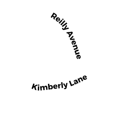
- 0 REILLY AVE
Condo Dupl MDL-05 owned by MURRAS LEONOR E - 0 REILLY AVE
Condo Dupl MDL-05 owned by MERCIER LYNNE S - 0 REILLY AVE
Other, Open Space owned by None - 1 REILLY AVE UNIT 3
CONDO APT MDL-05 owned by COSTA JOHN R - 1 REILLY AVE UNIT 2
CONDO APT MDL-05 owned by COSTA JOHN R - 1 REILLY AVE
CONDO APT MDL-05 owned by COSTA CAROL A - 11 AUSTIN ST
Auto Repair Facilities owned by 11 AUSTIN LLC